Most digital maps show roads, borders, and property lines, but they often miss what truly matters to the people who live there. apeoplesmap.org was created to change that by placing lived experience at the center of mapping. The platform helps communities document land, history, and identity in their own words. It transforms local knowledge into shared understanding that can be used for education, organizing, and long-term planning.
What Is apeoplesmap.org and Why It Exists
apeoplesmap.org is a community-driven mapping platform designed to document relationships between people and place. Instead of starting with official boundaries, it begins with stories, memory, and everyday use of land. The platform exists to address the gaps left by top-down maps that often overlook cultural meaning and local history.
By giving communities control over how places are represented, it supports fairness, accuracy, and trust. This makes it especially valuable for land work, education, and grassroots initiatives.
Centering People Instead of Borders: The platform prioritizes lived experience over administrative lines. Places are defined by how people use and value them. This allows maps to reflect real relationships with land. Multiple meanings can exist for the same location.
From Official Maps to Lived Experience: Standard maps focus on infrastructure and ownership. apeoplesmap.org adds human context through stories and shared memory. This creates a fuller picture of place. It also challenges incomplete or misleading records.
Who the Platform Is Built For: The platform serves community members, educators, researchers, organizers, and students. It is designed for users without technical mapping skills. Anyone with local knowledge can participate. This keeps power with communities.
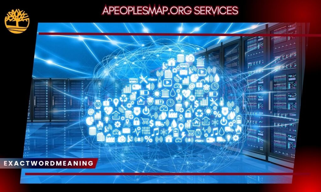
Core Community Mapping Services Offered by apeoplesmap.org
The core services focus on accessibility and participation. Mapping tools are designed to be simple, flexible, and community-led. Users can document places without needing advanced software. The platform supports different spatial features and links them to lived knowledge. This makes it suitable for both small projects and long-term initiatives.
Participatory Community Mapping Tools: Users can map points, paths, and areas through an intuitive interface. No technical background is required. This lowers barriers to participation. More voices can contribute meaningfully.
Mapping Cultural, Historical, and Land-Based Knowledge: Communities can record cultural sites, seasonal use areas, and shared resources. These features are often absent from official maps. Documenting them helps protect knowledge. It also supports land-related claims.
Multimedia Mapping (Stories, Photos, Audio, Video): Each location can include personal stories and media. This adds depth and emotion to maps. It helps others understand why places matter. Voices are preserved alongside locations.
Public Knowledge Repository and Collective Storytelling
apeoplesmap.org also functions as a shared archive of community knowledge. Instead of promoting a single narrative, it allows many perspectives to exist together. This supports collective storytelling and learning over time. Maps grow as more people contribute. The process values participation as much as the final product.
Community-Contributed Stories and Local Memory: Residents add personal memories and experiences. These stories capture everyday life and history. They strengthen community identity. The archive grows organically.
Open Access vs Controlled Visibility: Contributors choose what is public and what is restricted. Some information can remain private. This flexibility builds trust. It respects community boundaries.
Preserving Knowledge for Future Generations: Digital maps protect memories as landscapes and communities change. Future generations can learn directly from local voices. This supports cultural continuity. Knowledge remains accessible.
Data Ownership, Privacy, and Ethical Mapping Controls
Ethics and privacy are central to the platform’s design. apeoplesmap.org recognizes that not all knowledge should be shared openly. Communities retain ownership of their data. The system is built to prevent extractive use. Ethical mapping practices are supported throughout.
User-Controlled Access and Permissions: Users decide who can view or edit their data. This prevents misuse. It aligns mapping with community agreements. Control remains local.
Protecting Sensitive and Indigenous Knowledge: Some locations and stories require protection. The platform allows limited or private access. This respects cultural protocols. Harm is reduced.
Ethical Guidelines for Responsible Mapping: The platform encourages consent and transparency. Tools support ethical choices. Relationships still matter most. Trust is prioritized.
Community Organizing and Advocacy Tools
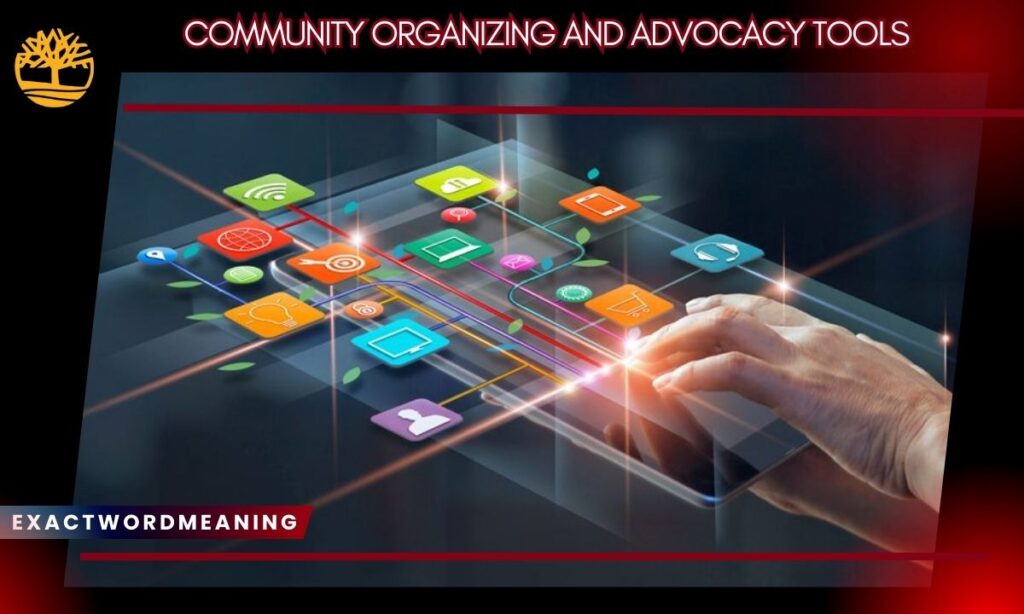
apeoplesmap.org provides tools that help communities turn knowledge into action. Organizers can visualize needs, strengths, and power structures. This supports planning and advocacy efforts. Maps become clear evidence that is easy to share. The tools are designed for real-world use.
Participatory Asset Mapping for Local Strengths: Communities can map local leaders and services. This highlights strengths, not just problems. It supports resilience-focused planning. Assets become visible.
Narrative Layering for Qualitative Evidence: Stories add context to mapped data. They strengthen advocacy claims. Human experience supports numbers. Messages become more persuasive.
Gap and Hazard Analysis for Underserved Areas: Visual tools reveal missing services or risks. This helps prioritize action. Inequities become clear. Resources can be targeted.
Power Mapping for Decision-Maker Visibility: Organizers can map institutions and stakeholders. This clarifies influence and responsibility. Outreach becomes strategic. Campaigns are more focused.
Inclusion and Demographic Representation Tracking: The platform helps assess who is included. This encourages equitable participation. Marginalized voices are highlighted. Representation improves.
Interactive Feedback and Social Mapping Pins: Residents can comment directly on maps. This supports ongoing dialogue. Feedback is location-specific. Engagement stays active.
Research, Academic, and Data Analysis Capabilities
Researchers use apeoplesmap.org to support participatory approaches. Instead of extracting data, they collaborate with communities. The platform balances research needs with ethical responsibility. It supports both qualitative and spatial analysis. Data sharing remains community-controlled.
Participatory Research Without Data Extraction: Communities remain partners in research. Findings are shared. Benefits are mutual. Trust is strengthened.
Subscription-Based Advanced Data Insights: Optional tools provide deeper analysis for academic or policy work. Access is structured. Core values remain intact. Flexibility is maintained.
Exportable GIS Data (GeoJSON, Shapefiles): Maps can be exported for professional use. This supports reports and planning. Integration with other tools is easy. Community context remains.
Educational Uses of apeoplesmap.org Services
The platform supports place-based education across age groups. Learning is grounded in local reality. Students connect lessons to real places. This improves understanding and engagement. Education becomes more meaningful.
Place-Based Learning for Schools and Universities: Students explore their own neighborhoods. Geography feels relevant. History becomes personal. Curiosity increases.
Student-Led Community Mapping Projects: Learners document stories with community members. Skills in research and listening develop. Elders are involved. Learning is collaborative.
Teaching Ethics, Consent, and Local Knowledge: Education includes responsibility. Students learn how to handle knowledge respectfully. Ethics are emphasized. Future practice improves.
Land Rights, Planning, and Policy Support
apeoplesmap.org is widely used in land-related work. It documents use patterns not shown in legal maps. This supports land claims and planning. Community voices remain central. Decisions become better informed.
Documenting Customary and Informal Land Use: Maps show long-term use beyond property records. This supports recognition of rights. Evidence becomes visible. Continuity is documented.
Supporting Community-Led Planning Decisions: Planners see how changes affect daily life. Community input is clear. Conflict is reduced. Outcomes improve.
Using Maps for Advocacy and Policy Dialogue: Visual data communicates complex issues simply. Policymakers understand impacts faster. Advocacy is strengthened. Voices are heard.
Collaboration and Long-Term Community Projects
The platform is designed for collective work over time. Maps are living projects. They evolve with community input. Collaboration reflects how knowledge is shared. Long-term use is supported.
Multi-Contributor Mapping and Review Workflows: Groups add and review content together. Accuracy improves through discussion. Ownership is shared. Trust grows.
Living Maps That Evolve Over Time: Maps adapt as communities change. New stories are added. Old ones remain. Knowledge stays current.
Managing Disagreement and Multiple Perspectives: Different views can coexist. Consensus is not forced. Complexity is documented. Reality is respected.
Technical Structure, Reliability, and Platform Stability
apeoplesmap.org prioritizes reliability over rapid change. This supports long-term projects. Users can trust the platform. Technical design favors stability. Data protection is central.
Web-Based Access and Secure Data Storage: The platform runs in a browser. Data is securely stored. Backups protect work. Access is simple.
Stability Over Rapid Feature Changes: Careful updates reduce disruption. Projects remain intact. Long-term planning is possible. Risk is minimized.
Designed for Long-Term Community Use: The platform supports sustained engagement. Communities can invest time confidently. Knowledge remains accessible. Trust is built.
Integrations and Comparisons With Other Mapping Platforms
apeoplesmap.org fits within a broader mapping ecosystem. It complements technical GIS tools. Its focus is human context. Integration supports comparison. Differences are clear.
Overlaying Community Data With OpenStreetMap: Users compare lived experience with official data. Gaps become visible. Advocacy is strengthened. Reality is clearer.
Differences From ArcGIS, Mapbox, and Esri Tools: Those platforms focus on technical analysis. apeoplesmap.org focuses on stories and ethics. Participation is easier. Community voice is central.
How apeoplesmap.org Fits Into the Mapping Ecosystem: It adds meaning to spatial data. Professional tools gain context. Communities gain visibility. Both benefit.
Practical Steps to Get Started With apeoplesmap.org
Successful mapping begins with preparation. Clear goals guide decisions. Small steps reduce risk. Reflection improves quality. Sustainability matters.
Defining Purpose and Audience: Clarify why you are mapping. Decide who the map is for. This guides content choices. Confusion is avoided.
Preparing Communities Before Mapping: Discuss consent and boundaries. Agree on access levels. Build trust early. Expectations are clear.
Starting Small and Scaling Responsibly: Begin with one theme or area. Learn the process. Expand gradually. Quality improves.
Reviewing, Reflecting, and Maintaining Maps: Check accuracy together. Update regularly. Assign stewardship. Maps stay useful.
Common Challenges in Community Mapping and How to Handle Them
Community mapping is complex. Challenges are normal. Tools help, but judgment is required. Care and communication matter. Ethics guide decisions.
Managing Conflicting Narratives: Allow multiple stories. Avoid forcing agreement. Document difference. Respect complexity.
Resisting External Pressure to Share Data: Prioritize community wishes. Use access controls. Say no when needed. Ethics come first.
Ensuring Sustainability and Stewardship: Plan for long-term care. Assign roles. Build capacity. Projects last longer.
Why Community-Centered Mapping Matters Today
Mapping shapes how places are understood and governed. Community-centered approaches shift power. People gain agency. Knowledge becomes shared. Understanding deepens.
Reversing Extractive Mapping Practices: Communities are no longer just data sources. They lead representation. Harm is reduced. Trust grows.
Building Trust, Agency, and Local Power: Ownership strengthens confidence. Voices matter. Collective action improves. Power is shared.
Maps as Tools for Understanding, Not Control: Maps support dialogue and learning. They explain complexity. They guide care and connect people.
Frequently Asked Questions
What makes apeoplesmap.org different from traditional maps?
It centers lived experience and community stories rather than only official boundaries.
Is apeoplesmap.org free to use?
Yes, core features are free with optional paid tools for advanced needs.
Who owns the data uploaded to the platform?
The contributor or community retains full ownership of their data.
Can sensitive locations be kept private?
Yes, privacy and restricted access options are available.
Is apeoplesmap.org suitable for schools and students?
Yes, it is widely used for place-based education.
How does it support community organizing and advocacy?
It turns local knowledge into clear visual evidence for action.
Can data be exported for use with GIS software?
Yes, data can be downloaded in standard GIS formats.
Is apeoplesmap.org the same as Medicaid MAPs or similar programs?
No, it is a separate digital community mapping platform.
Conclusion
apeoplesmap.org services show that mapping can be ethical, inclusive, and people-led. By prioritizing lived experience, the platform helps communities document what truly matters. Its strength lies in both its tools and its collaborative process. Used with care, it supports understanding, protection, and long-term stewardship of place.

Muhammad Shoaib is a seasoned content creator with 10 years of experience specializing in Meaning and Caption blogs. He is the driving force behind ExactWordMeaning.com, where he shares insightful, clear, and engaging explanations of words, phrases, and captions.